Germany’s largest aviation company
350,000 m² of captured area, 22 buildings, six delivered BIM models.
Read the success storySpatial intelligence is the active use of structured building data by AI models. It builds exactly where qapture already works.
qapture's assistant for facility managers: a question in the chat, an answer out of the site's data — and the way there along with it.
qentin at work in a store. With sound.
Most providers deliver point clouds. A point cloud is a snapshot, not a data basis. AI models need structure: georeferenced, classified, interoperable.
qapture builds that structure from the first capture onwards. What stands at the end is a usable foundation, not an integration task.
Turn buildings into data.
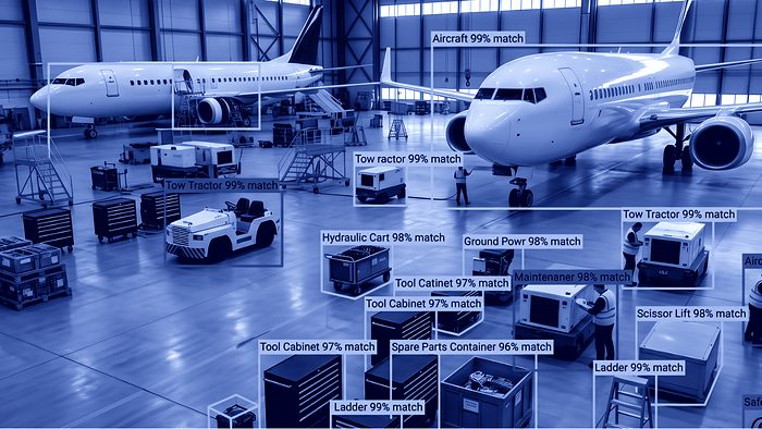
Fire extinguishers, escape route signs and sockets are automatically detected in 360° imagery and located in the 3D viewer.
Compliance audits run without manual counting.
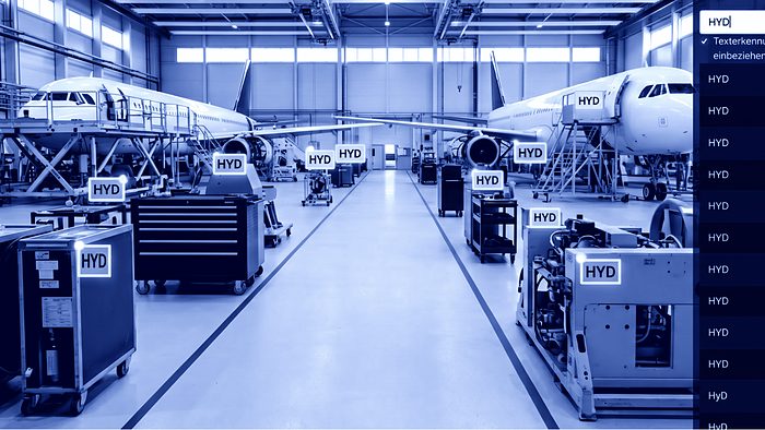
Labels, signage and asset tags are read across the entire site.
Every asset ID is searchable, without a walk-through.
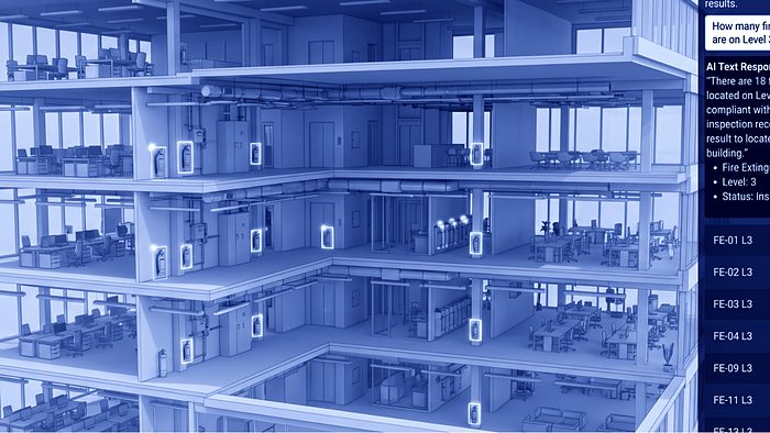
A chat assistant answers questions directly. “How many fire extinguishers on level 3?”
Building knowledge is available to operations as self-service.

As-built BIM models are generated automatically from the point cloud, backed by expert QA.
That cuts cost and lead time considerably.
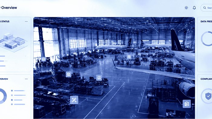
Continuously updated building metrics: areas to DIN 277, asset inventory, compliance status.
No more static deliverable.
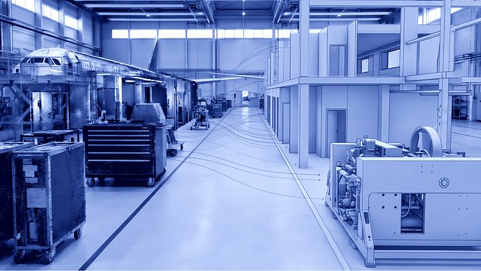
Movement data from AGVs or cleaning robots reveals changes and flags zones that need a new scan.
Re-scans run on demand.
This data basis already exists and carries every spatial intelligence function, with no new capture.
That is the strength of an AI-ready foundation: the effort happens once, the benefit keeps growing.
Every capture qapture performs today is prepared for these functions. Georeferenced, classified, interoperable. If you need one of these functions in two years, the foundation is already there.
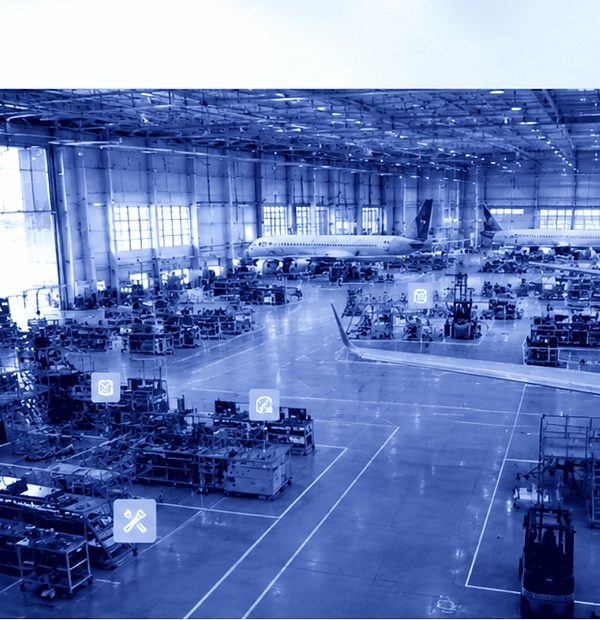
Spatial intelligence is the stage that follows a consistently built digital twin. The functions build on your data basis. Which of them run for you, we check together with you.
Three properties. Georeferenced, so every object has a position in space. Classified, so a model knows what a component is. Interoperable, so the data moves into other systems without conversion. A raw point cloud meets none of them.
No, if the capture came from qapture. The functions build on the existing data basis. At Germany’s largest aviation company they run on data collected over years.
We review the data you have today and tell you which functions can run on it.