Germany’s largest aviation company
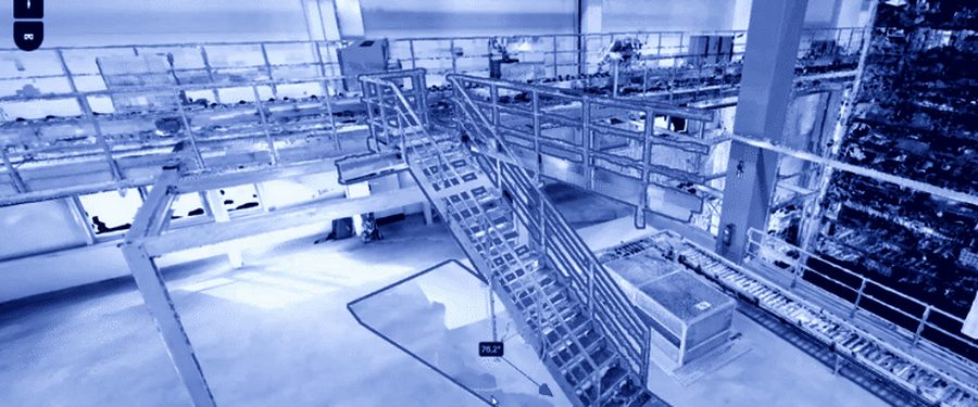
350,000 m² of captured area, 22 buildings, six delivered BIM models.
Read the success storyWe turn point clouds into structured BIM models that hold up in daily planning and operation. To a defined level of information need, in your format.
01
We define the level of information need together. Not every component needs LOIN 400. That saves time and budget.
02
Laser scanning and mobile mapping, matched to building type and operating hours.
03
The point cloud sits correctly in the national coordinate system.
04
Components are built to the agreed structure, not by gut feel. Each component group carries the properties operations actually use.
05
Model verification against the point cloud, documented. You receive the verification report with the model.
We model in Revit and Archicad and deliver IFC 2x3 and IFC 4. Naming conventions to ÖNORM A 6241 or your in-house standard. Model verification runs rule-based against the point cloud and against your EIR, not by visual sampling.
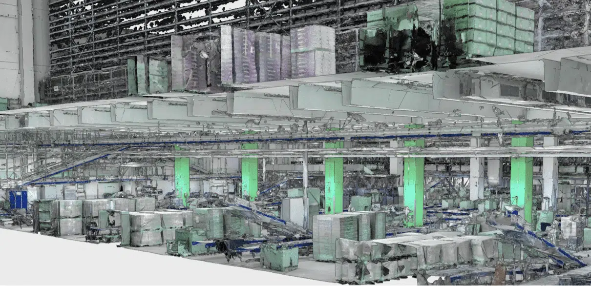
At Germany’s largest aviation company, 350,000 m² of captured area produced six BIM models across 22 buildings.
The template you use to define your BIM requirements cleanly, before the first enquiry goes out.
An as-built model earns its value in operation. How the digital twin is used every day after that.
The LOIN follows the use case. For space management LOIN 200 is enough. For refurbishment planning you need LOIN 300 with layer build-up. LOIN 400 pays off only where fabrication or installation comes from the model.
The model inherits the accuracy of the capture and the tolerance of the modelling rule. Typical values are 10 to 20 mm on component axes. The verification report states the deviation against the point cloud per component group.
Tell us what you are working on. We show you what a reliable digital basis for your site looks like.