IKEA
Over five years of partnership. As-is data is anchored in the refit process.
Read the success storyWe capture existing buildings during operation. 37,000 m² in a single day, georeferenced and verified. What sits in the model by evening would have taken weeks by conventional survey.
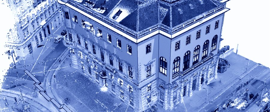
01
We walk the site in advance and set the time windows with your operations. In production and logistics we often scan during shift breaks or at night.
02
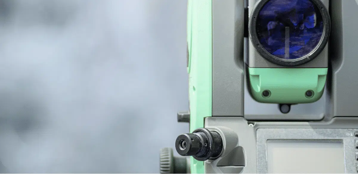
Before scanning we set the control point network with a total station. The point cloud then sits correctly in the national coordinate system and matches every later construction phase.
03
Large areas run with mobile mapping in a single pass. Plant rooms, tight shafts and zones with high accuracy requirements are scanned terrestrially. Envelopes and roofs come by drone.
04
We register, filter and verify against the control points. Every deviation is documented. Only then does the point cloud go out.
Terrestrial laser scanners for maximum accuracy, mobile mapping systems for large areas, drones for building envelopes, total stations for georeferencing. We pick the device by task, not by habit. Achievable indoor accuracy: 2 mm terrestrial, 5 mm with mobile mapping.
37,000 m² in one day. That is five IKEA stores. The shelves stay, the tills keep running.
A point cloud is a snapshot. Structure turns it into a basis for decisions.
A method that computes a photorealistic, freely walkable view from imagery. For alignment with people who do not read point clouds, it is the most legible view.
Tell us what you are working on. We show you what a reliable digital basis for your site looks like.